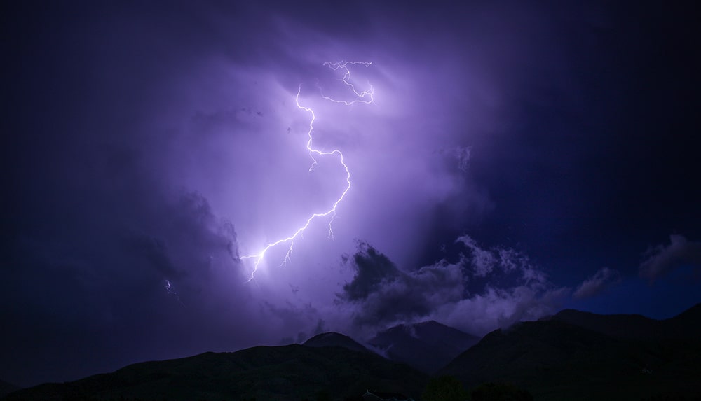
Environment Canada is calling for thunderstorms overnight and significant rainfall for Revelstoke on Sunday, warning of potential flash flooding, rising rivers, downed trees, and danger to those recreating or working outside.
The forecaster issued a special weather statement on May 30, warning of a low pressure system moving into the area from Washington State on Saturday night.
Severe thunderstorm WARNING for Kootenays – from Christina Lake to Creston. A line of severe thunderstorms over NE Washington will reach BC by 9 pm. Very strong winds, heavy rain, and large hail are possible with these storms. https://t.co/p0z0oxUk16 #BCstorm pic.twitter.com/CPkxL5sDgb
— ECCC Weather British Columbia (@ECCCWeatherBC) May 31, 2020
“Ahead of the low, atmospheric conditions will be conducive to the development of strong to severe thunderstorms this evening and overnight. The main hazards are heavy rainfall rates (up to 10-25 mm/h), very strong winds up to 80-100 km/h, 1-2 cm hail, and intense lightning,” it said in the statement. “Additionally, widespread rainfall will accompany the low pressure system overnight and Sunday. Total rainfall amounts of 20 to 40 mm except up to 50 east of the Okanagan valley are expected by Sunday afternoon.”
Latest thunderstorm outlook issued at 10:30am PDT 30th May 2020. Severe tstm watches are in effect. Be sky aware and stay tuned to local forecasts and warnings. Watches and warnings: https://t.co/qZGyJmpPe9 Blog: https://t.co/RTVkD6WvMS River Fcst Centre: https://t.co/4xGYupWjIA pic.twitter.com/UO1nIURXQZ
— ECCC Weather British Columbia (@ECCCWeatherBC) May 30, 2020
Environment Canada has issued weather warnings for Kootenay Lake and the West Kootenay, calling for severe thunderstorms there.
What did you think of this story?
Your feedback after we publish a story helps ensure we're always improving our reporting to better serve you